

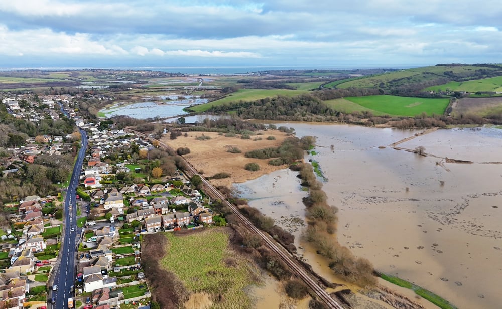



















































A flood alert has been issued for the Eastern Yar on the Isle of Wight, with the Environment Agency warning that roads could become flooded over the coming hours and days.
More than 30mm of rainfall was recorded at Wroxall yesterday (Tuesday), resulting in rising water levels along the Eastern Yar and its tributaries.
It’s said that high river levels could cause flooding across low-lying land, roads, cycle tracks and footpaths between Whitwell and Bembridge.


At Langbridge and Alverstone, the river is now close to reaching its peak, with water levels expected to remain near the top of the riverbank for much of today.
Further rainfall is forecast from this afternoon through to Friday, with up to 15mm expected each day.
The Environment Agency has warned that, should this additional rainfall affect the river, flooding of Golf Links Road and Moreton Common Road is likely tomorrow (Thursday).
River levels are expected to remain higher than normal for the next 5 days.
Residents in flood-prone areas, including Alverstone, are being advised to consider activating any flood protection measures they have available.