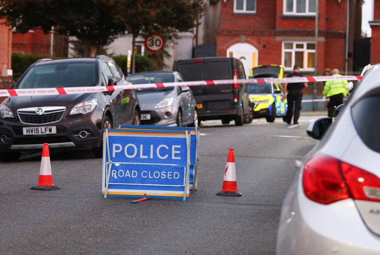









































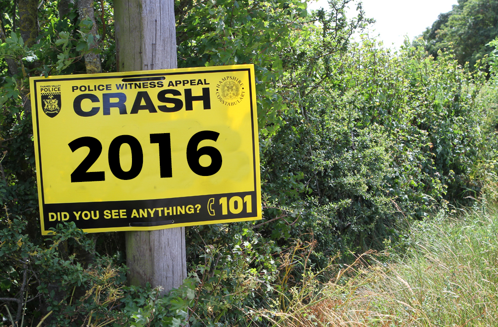

New data released by the Department for Transport has revealed that there were around 330 crashes on the Isle of Wight in 2016, with the majority taking place in and around Newport.
Co-Op Insurance have analysed the figures for the entire country and have cleverly compiled an interactive map which details where each incident took place. It doesn’t take into account the severity of each incident.
On the Isle of Wight, the general Newport area had the highest number of crashes at 66, followed by Ryde with 47 and Shanklin with 38.


Despite a common misconception that Military Road is dangerous, there were only 3 recorded crashes at points near Chale, near Brighstone and near Compton.
Breakdown of crash locations
| Arreton | 10 |
| Bembridge | 6 |
| Binstead | 7 |
| Brading | 8 |
| Calbourne/Middle Road | 16 |
| Carisbrooke/Gunville | 11 |
| Cowes | 18 |
| Downend | 7 |
| East Cowes | 9 |
| Freshwater | 11 |
| Godshill | 5 |
| Havenstreet | 4 |
| Lake | 9 |
| Luccombe | 6 |
| Military Road | 3 |
| Mottistone/Brighstone/Shorwell | 8 |
| Newport | 43 |
| Niton | 3 |
| Northwood | 11 |
| Porchfield | 2 |
| Rookley | 6 |
| Ryde | 38 |
| Sandown | 6 |
| Shanklin | 12 |
| The Downs | 12 |
| Ventnor | 3 |
| Whippingham | 16 |
| Whitely Bank | 5 |
| Winford | 8 |
| Wootton | 16 |
| Wroxall | 2 |
| Yarmouth/Yarmouth Road | 5 |